
1981 Map of Hogback Butte
USGS Topo · Published 1981About this map
Fort Rock Valley meets the edge of an extensive Lava Field in this northern Lake County landscape. The topography is dominated by numerous volcanic formations, including Hogback Butte, Ludi Butte, and the prominent Lava Mountain rising above the volcanic flows to the east. Water management in this arid environment is evidenced by several remote wells and catchments such as Steigleder Reservoir and Ward Well. The modest infrastructure of the late 1970s is reflected in the presence of Fort Rock Station and a solitary Landing Strip, alongside various 4WD tracks that navigate around Table Mountain and Buck Butte. This survey provides a precise record of the geologic and water-access features that defined ranching and land use in this section of the Oregon high desert during the late twentieth century.
Find a feature on this map
20 named features on this map. Tap any name to fly to it.
Don’t see what you’re looking for? This feature index may not catch every label — zoom into the map to look around manually.
Map Details
Editions of this 1981 Hogback Butte Map
This is the sole edition of this map. No revisions or reprints were ever made.
Other maps of this area

1955 · Crescent
USGS Topo · 1:250,000

1957 · Crescent
USGS Topo · 1:250,000

1958 · Crescent
USGS Topo · 1:250,000

1970 · Crescent
USGS Topo · 1:250,000

1981 · Fox Butte
USGS Topo · 1:24,000

1981 · Cougar Mtn
USGS Topo · 1:24,000

1981 · Lane Lake
USGS Topo · 1:24,000
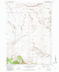
1982 · Schaub Lake
USGS Topo · 1:24,000
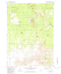
1982 · Sixteen Butte
USGS Topo · 1:24,000

1982 · Jacks Place
USGS Topo · 1:24,000