
1981 Map of Lane Lake
USGS Topo · Published 1982About this map
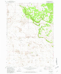
Fort Rock Valley in the high desert of Lake County is defined by a landscape of extensive sand dunes and scattered water sources. In this arid environment during the late 1970s, evidence of former homesteading and community life remains visible through historic locations such as Fleetwood and Loma Vista. These sites represent the early 20th-century attempts to settle the area, often centered around small wells and seasonal water features. The infrastructure of the era is marked by numerous named water points like Gerkin Well and Morehouse Well, which were vital for ranching and survival. The map also features the Lane Lake salt flat and the Stingley Reservoir, alongside a remote Landing Strip, illustrating the isolated yet managed character of this high-plateau terrain.
Find a feature on this map
25 named features on this map. Tap any name to fly to it.
Don’t see what you’re looking for? This feature index may not catch every label — zoom into the map to look around manually.
Map Details
Editions of this 1981 Lane Lake Map
2 editions found
Other maps of this area

1955 · Crescent
USGS Topo · 1:250,000

1957 · Crescent
USGS Topo · 1:250,000

1958 · Crescent
USGS Topo · 1:250,000

1970 · Crescent
USGS Topo · 1:250,000

1981 · Hogback Butte
USGS Topo · 1:24,000

1981 · Cougar Mtn
USGS Topo · 1:24,000

1981 · Thorn Lake
USGS Topo · 1:24,000
1981 · Tuff Butte
USGS Topo · 1:24,000
1982 · Schaub Lake
USGS Topo · 1:24,000

1982 · Jacks Place
USGS Topo · 1:24,000