
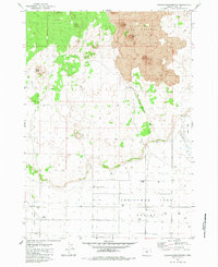
1981 Map of Thorn Lake
USGS Topo · Published 1981About this map
The arid high-desert floor of the Fort Rock Valley dominates this 1981 survey, revealing a landscape defined by scarce water resources and ancient geology. Scattered throughout the quadrangle are numerous wells and the specifically designated BM 4319 Government Well, illustrating the critical importance of groundwater management in this part of Lake County. The presence of the American Fossil Mine and an additional unnamed Mine suggests a focus on the region's unique paleontological or mineral deposits rather than traditional metal mining.
Find a feature on this map
9 named features on this map. Tap any name to fly to it.
Don’t see what you’re looking for? This feature index may not catch every label — zoom into the map to look around manually.
Map Details
Editions of this 1981 Thorn Lake Map
This is the sole edition of this map. No revisions or reprints were ever made.
Other maps of this area

1955 · Crescent
USGS Topo · 1:250,000

1957 · Crescent
USGS Topo · 1:250,000

1958 · Crescent
USGS Topo · 1:250,000

1970 · Crescent
USGS Topo · 1:250,000

1981 · Lane Lake
USGS Topo · 1:24,000
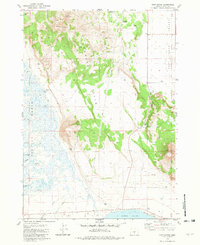
1981 · Tuff Butte
USGS Topo · 1:24,000
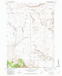
1982 · Schaub Lake
USGS Topo · 1:24,000
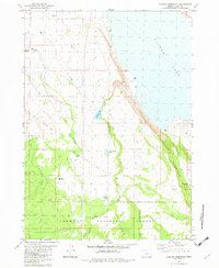
1982 · Duncan Reservoir
USGS Topo · 1:24,000
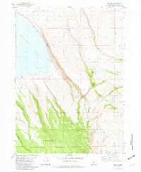
1982 · Egli Rim
USGS Topo · 1:24,000
1983 · Crack-in-the-Ground
USGS Topo · 1:24,000