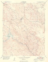
1949 Map of Coulterville
USGS Topo · Published 1949About this map
The Mother Lode region of Mariposa County unfolds through the rugged topography of Coulterville, an area defined by its deep mining heritage and the winding Merced River. This 1949 survey documents the transition of a landscape once bustling with gold extraction, noting the Mary Harrison Mine and the Gold Coin Mine, alongside several sites such as the Virginia Mine (Aband). The western edge is dominated by Lake McClure (Exchequer Res), while the northeast corner shows the intersection of local life at Greeley Hill and Greeley Sch. A quiet reminder of earlier transportation persists at Split Rock Ferry (Aband) on the river, showing how accessibility evolved as Ponderosa Way and other routes took precedence over old river crossings and ferries that once served the remote gulches and flats of the Stanislaus National Forest.
Find a feature on this map
47 named features on this map. Tap any name to fly to it.
Don’t see what you’re looking for? This feature index may not catch every label — zoom into the map to look around manually.
Map Details
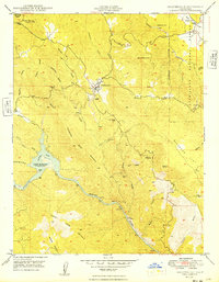
Editions of this 1949 Coulterville Map
2 editions found
Other maps of this area

1893 · Sonora
USGS Topo · 1:125,000

1896 · Sonora
USGS Topo · 1:125,000

1897 · Sonora
USGS Topo · 1:125,000

1898 · Sonora
USGS Topo · 1:125,000

1916 · Merced Falls
USGS Topo · 1:24,000

1919 · Merced Falls
USGS Topo · 1:31,680

1944 · Merced Falls
USGS Topo · 1:62,500

1947 · San Jose
USGS Topo · 1:250,000

1947 · Coulterville
USGS Topo · 1:62,500
1947 · Jawbone Ridge
USGS Topo · 1:24,000