2022 Map of Council Hill
USGS Topo · Published 2022About this map
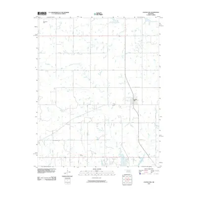
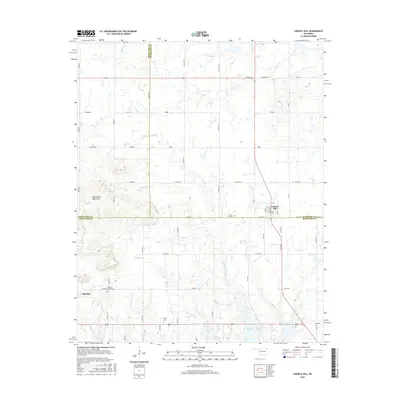
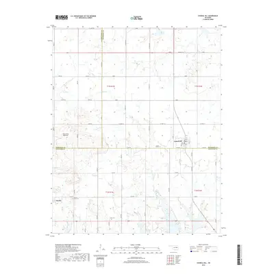
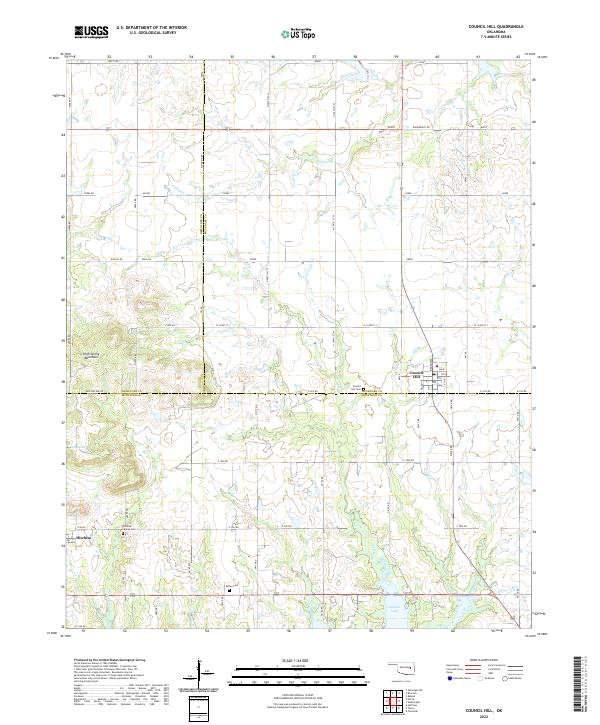
Council Hill and Hitchita anchor this landscape along the borders of Okmulgee, Muskogee, and McIntosh counties. The terrain is defined by the High Spring Mountains and a complex network of tributaries including Gentry Cr, Cloud Cr, and Putty Cr, which flow south toward the northern reaches of Eufaula Lake. For local historians and genealogists, the map identifies key burial grounds such as Council Hill Cem, Hitchita-Lackey Cem, and Ridley Cem. The grid of rural roads, including S Watts Rd and Wainwright Rd, reflects the steady agricultural and residential character of this eastern Oklahoma region. The detailed street layout of Council Hill highlights the local center of commerce and community, with Broadway and Main street forming the village core.
Find a feature on this map
45 named features on this map. Tap any name to fly to it.
Don’t see what you’re looking for? This feature index may not catch every label — zoom into the map to look around manually.
Map Details
Editions of this 2022 Council Hill Map
This is the sole edition of this map. No revisions or reprints were ever made.
Historical Maps of Council Hill Through Time
6 maps found