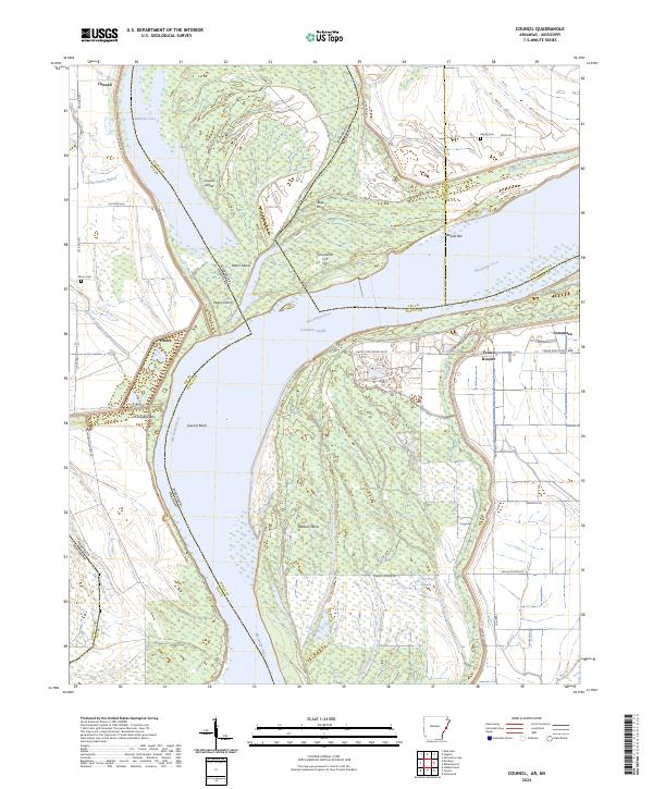
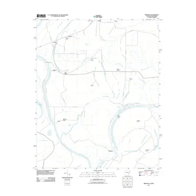
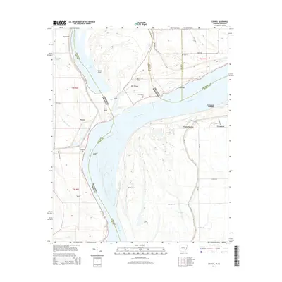
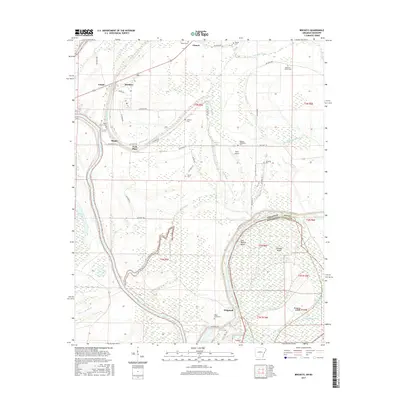
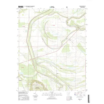
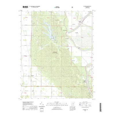
2024 Map of Council
USGS Topo · Published 2024About this map
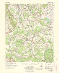
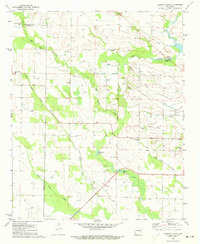
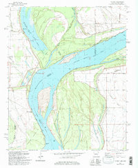
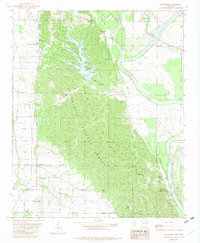
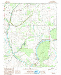
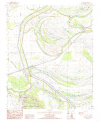
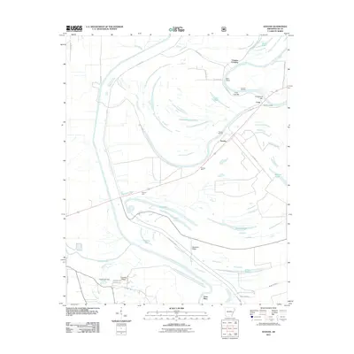
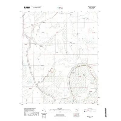
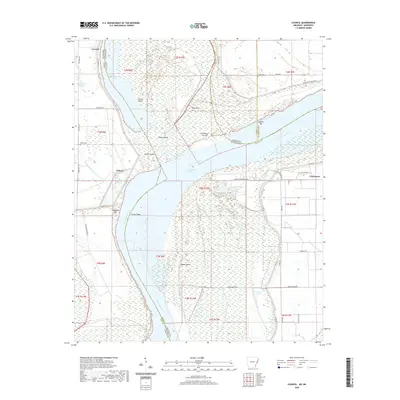
The Mississippi River defines the dynamic border between Arkansas and Mississippi, creating a landscape of shifting channels and massive silt deposits. Settlements like Peters and Council occupy the Arkansas side, while the Mississippi bank features the modern developments of Tunica Resorts. The hydrologic complexity of the area is evident in features like the Commerce Cutoff and Council-Bend, which illustrate how the river has bypassed old meanders over time, leaving behind bodies of water such as Midway Lake and Old River Lake. Genealogy and local history researchers will find the locations of Peters Cem and Happy Cem particularly useful. The terrain is characterized by numerous bars and islands, including Peters Island and Rabbit Island, reflecting the river's constant reshaping of the delta region. Land use appears split between traditional riverfront agriculture and the resort economy along Casino Strip Resort Blvd.
Find a feature on this map
50 named features on this map. Tap any name to fly to it.
Don’t see what you’re looking for? This feature index may not catch every label — zoom into the map to look around manually.
Map Details
Editions of this 2024 Council Map
This is the sole edition of this map. No revisions or reprints were ever made.
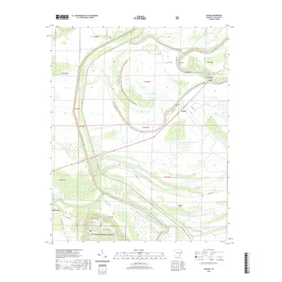
Historical Maps of Council Through Time
36 maps found
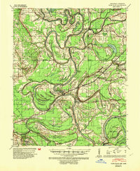
1939 Park Place
Lee County, AR
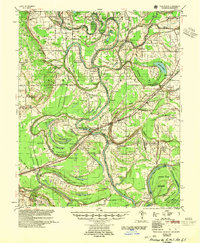
1955 Park Place
Lee County, AR
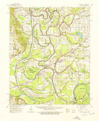
1962 Park Place
Lee County, AR
1963 Park Place
Lee County, AR
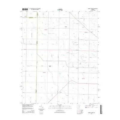
1971 Garrett Grove
Lee County, AR
1981 Council
Lee County, AR
1982 La Grange
Lee County, AR
1984 Brickeys
Lee County, AR

1984 Helena
Lee County, AR
1984 Soudan
Lee County, AR

1990 Helena
Lee County, AR
2011 Brickeys
Lee County, AR
2011 Council
Lee County, AR
2011 Garrett Grove
Lee County, AR
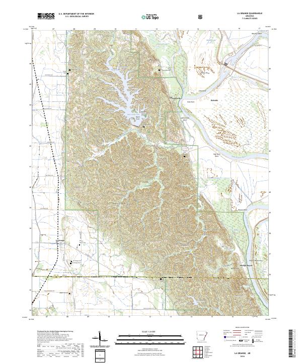
2011 La Grange
Lee County, AR
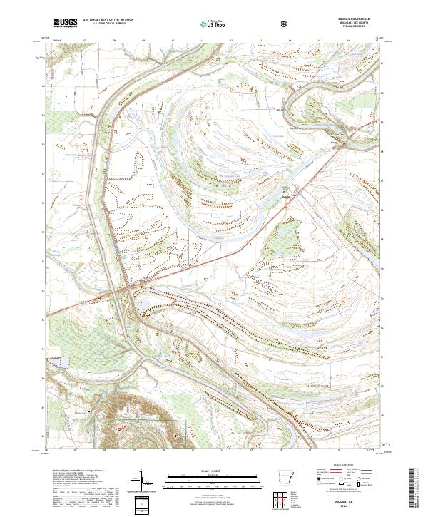
2011 Soudan
Lee County, AR
2014 Brickeys
Lee County, AR
2014 Council
Lee County, AR
2014 Garrett Grove
Lee County, AR
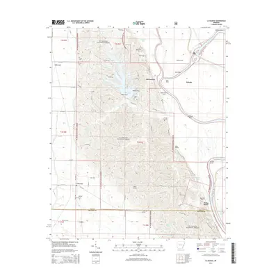
2014 La Grange
Lee County, AR
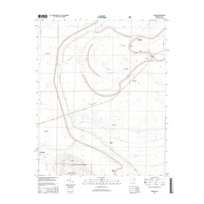
2014 Soudan
Lee County, AR
2017 Brickeys
Lee County, AR
2017 Council
Lee County, AR
2017 Garrett Grove
Lee County, AR
2017 La Grange
Lee County, AR
2017 Soudan
Lee County, AR
2020 Brickeys
Lee County, AR
2020 Council
Lee County, AR
2020 Garrett Grove
Lee County, AR
2020 La Grange
Lee County, AR
2020 Soudan
Lee County, AR
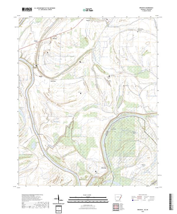
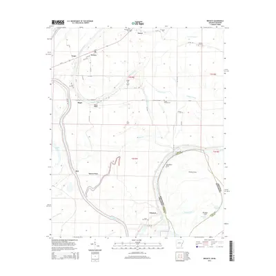
2024 Brickeys
Lee County, AR
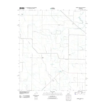
2024 Council
Lee County, AR
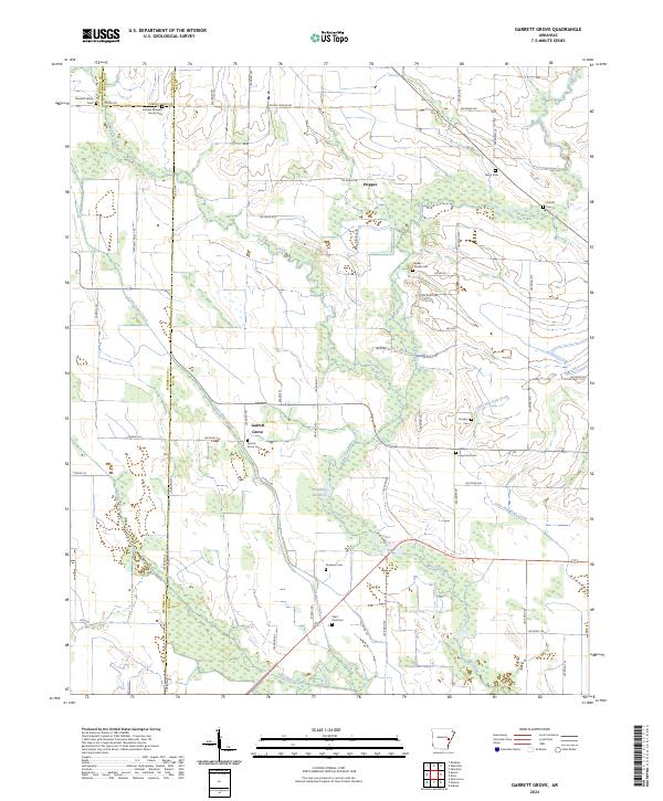
2024 Garrett Grove
Lee County, AR
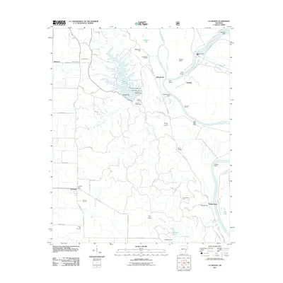
2024 La Grange
Lee County, AR
2024 Soudan
Lee County, AR