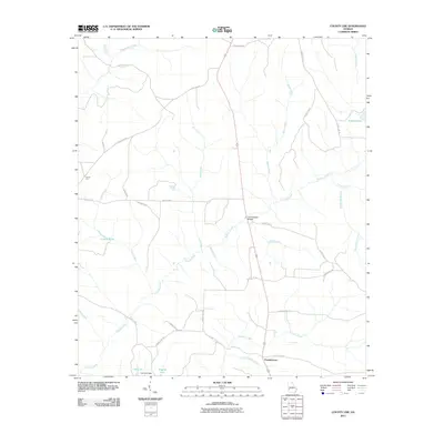
2011 Map of County Line
USGS Topo · Published 2011About this map
Pataula Creek and its many tributaries, such as Brier Creek and Meal Creek, dominate this rural Southwest Georgia landscape. The map centers on the small settlement of County Line, with the community of Pumpkintown situated further south near the banks of Little Pumpkin Creek. This 2011 survey reveals a landscape of winding county roads and varied water features, including named impoundments like Lies Lake and Singers Pond.
Find a feature on this map
38 named features on this map. Tap any name to fly to it.
Don’t see what you’re looking for? This feature index may not catch every label — zoom into the map to look around manually.
Map Details
Editions of this 2011 County Line Map
This is the sole edition of this map. No revisions or reprints were ever made.
Other maps of this area

1950 · Lumpkin
USGS Topo · 1:24,000

1950 · Lumpkin SW
USGS Topo · 1:24,000

1950 · Lumpkin
USGS Topo · 1:62,500

1953 · Dothan
USGS Topo · 1:250,000

1954 · Dothan
USGS Topo · 1:250,000

1955 · Dothan
USGS Topo · 1:250,000

1955 · Lumpkin
USGS Topo · 1:24,000

1955 · Lumpkin SW
USGS Topo · 1:24,000

1955 · Lumpkin
USGS Topo · 1:62,500

1955 · Phenix City
USGS Topo · 1:250,000