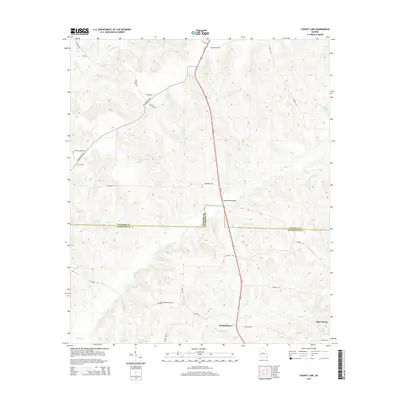
2014 Map of County Line
USGS Topo · Published 2014About this map
Pataula Cr and Pumpkin Cr define the drainage of this rural landscape where Stewart and Randolph counties meet. The settlement of Pumpkintown stands in the south, positioned near the intersection of several local routes such as CO Road 102 and CO Road 107. The map illustrates a high density of small watercourses, including Hodchodkee Cr, Meal Cr, and Wards Mill Br, which flow through a network of family-named roads like Dunaway Rd and Baldwin Rd. North of the county line, Summerfield Bridge serves as a key crossing over the larger creek systems. These details reflect the agricultural and hydraulic character of this corner of Georgia, where small ponds like Singer Pond and Carters Pond provide isolated landmarks for local land surveys.
Find a feature on this map
38 named features on this map. Tap any name to fly to it.
Don’t see what you’re looking for? This feature index may not catch every label — zoom into the map to look around manually.
Map Details
Editions of this 2014 County Line Map
This is the sole edition of this map. No revisions or reprints were ever made.
Other maps of this area

1950 · Lumpkin
USGS Topo · 1:24,000

1950 · Lumpkin SW
USGS Topo · 1:24,000

1950 · Lumpkin
USGS Topo · 1:62,500

1953 · Dothan
USGS Topo · 1:250,000

1954 · Dothan
USGS Topo · 1:250,000

1955 · Dothan
USGS Topo · 1:250,000

1955 · Lumpkin
USGS Topo · 1:24,000

1955 · Lumpkin SW
USGS Topo · 1:24,000

1955 · Lumpkin
USGS Topo · 1:62,500

1955 · Phenix City
USGS Topo · 1:250,000