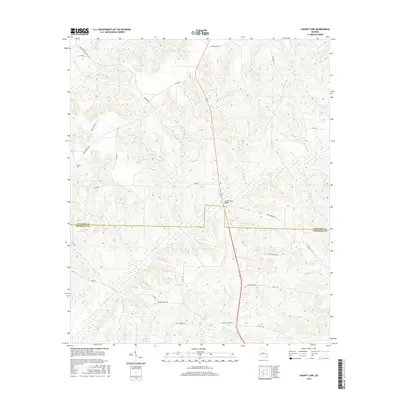
2017 Map of County Line
USGS Topo · Published 2017About this map
County Line marks the boundary between Stewart and Randolph Counties in this 2017 survey of the southwest Georgia landscape. The terrain is defined by an intricate network of drainage, where Pataula Cr and Pumpkin Cr wind through hills and wetlands. Named landmarks like Summerfield Bridge and the intersection of local routes such as Lucious Queen Rd and Oak Grove Rd provide clear spatial anchors for the region.
Find a feature on this map
39 named features on this map. Tap any name to fly to it.
Don’t see what you’re looking for? This feature index may not catch every label — zoom into the map to look around manually.
Map Details
Editions of this 2017 County Line Map
This is the sole edition of this map. No revisions or reprints were ever made.
Other maps of this area

1950 · Lumpkin
USGS Topo · 1:24,000

1950 · Lumpkin SW
USGS Topo · 1:24,000

1950 · Lumpkin
USGS Topo · 1:62,500

1953 · Dothan
USGS Topo · 1:250,000

1954 · Dothan
USGS Topo · 1:250,000

1955 · Dothan
USGS Topo · 1:250,000

1955 · Lumpkin
USGS Topo · 1:24,000

1955 · Lumpkin SW
USGS Topo · 1:24,000

1955 · Lumpkin
USGS Topo · 1:62,500

1955 · Phenix City
USGS Topo · 1:250,000