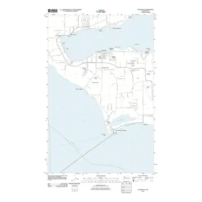
2011 Map of Coupeville
USGS Topo · Published 2011About this map
Whidbey Island's central landscape is defined here by the sheltered waters of Penn Cove and the windswept bluffs of the Ebeys Landing Natl Hist Res. The historic town of Coupeville serves as the focal point for the region's early maritime and agricultural development, flanked by fertile areas like Ebeys Prairie and Smith Prairie. The spatial arrangement of small settlements such as San de Fuca, Coveland, and Monroe Landing illustrates the area's dependence on the cove for transport and trade during its formative years.
Find a feature on this map
108 named features on this map. Tap any name to fly to it.
Don’t see what you’re looking for? This feature index may not catch every label — zoom into the map to look around manually.
Map Details
Editions of this 2011 Coupeville Map
This is the sole edition of this map. No revisions or reprints were ever made.
Other maps of this area

1939 · Port Townsend
USGS Topo · 1:62,500

1939 · Coupeville
USGS Topo · 1:62,500

1943 · Richardson
USGS Topo · 1:62,500

1943 · Deception Pass
USGS Topo · 1:62,500

1951 · Deception Pass
USGS Topo · 1:62,500

1953 · Coupeville
USGS Topo · 1:24,000

1953 · Freeland
USGS Topo · 1:24,000

1953 · Nordland
USGS Topo · 1:24,000

1953 · Camano
USGS Topo · 1:24,000

1953 · Port Townsend North
USGS Topo · 1:24,000