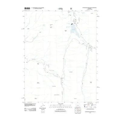
2011 Map of Courthouse Mountain
USGS Topo · Published 2011About this map
Silver Jack Reservoir and its associated Silver Jack Dam dominate the northern drainage of this high-elevation terrain in Gunnison County. The landscape is defined by the convergence of the West Fork Cimarron River and Middle Fork Cimarron River, creating a complex network of alpine hydrology. Evidence of earlier industrial activity remains on the land at the Lou Creek Coal Mine and Kennedy Mine near the western boundary. Significant geological landmarks including Courthouse Mountain, Chimney Rock, and the jagged Cimarron Ridge serve as primary navigational points. Transportation through the high passes is marked by Owl Creek Pass and Lou Creek Pass, while water management is evidenced by the Cimarron Feeder Garnet Ditch, which follows the contours of the drainage basin.
Find a feature on this map
39 named features on this map. Tap any name to fly to it.
Don’t see what you’re looking for? This feature index may not catch every label — zoom into the map to look around manually.
Map Details
Editions of this 2011 Courthouse Mountain Map
This is the sole edition of this map. No revisions or reprints were ever made.
Other maps of this area

1902 · Ouray
USGS Topo · 1:62,500

1903 · Lake City
USGS Topo · 1:62,500

1904 · Ouray
USGS Topo · 1:62,500

1905 · Lake City
USGS Topo · 1:62,500

1908 · Uncompahgre
USGS Topo · 1:125,000

1909 · Montrose
USGS Topo · 1:125,000

1911 · Uncompahgre
USGS Topo · 1:125,000

1911 · Montrose
USGS Topo · 1:125,000

1955 · Ouray
USGS Topo · 1:24,000

1956 · Montrose
USGS Topo · 1:250,000