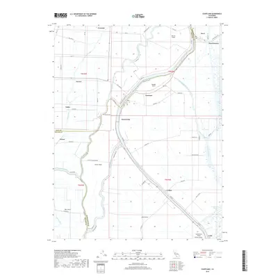
2018 Map of Courtland
USGS Topo · Published 2018About this map
The Sacramento River and its intricate network of sloughs define this agricultural landscape in the Sacramento Valley. The map details the low-lying geography where the borders of Yolo, Solano, and Sacramento counties meet amidst fertile river islands. The settlement of Locke stands as a significant landmark in the south, while Courtland serves as a central hub along the riverbanks. The survey illustrates the reclamation and irrigation efforts essential to the region, shown through the Reclamation District 551 Borrow Canal and numerous sloughs like Steamboat Slough and Sutter Slough. Family-named roads such as Leary Rd and Richards Ave crisscross Grand Island and Randall Island, highlighting the deeply-rooted land divisions of the California Delta.
Find a feature on this map
73 named features on this map. Tap any name to fly to it.
Don’t see what you’re looking for? This feature index may not catch every label — zoom into the map to look around manually.
Map Details
Editions of this 2018 Courtland Map
This is the sole edition of this map. No revisions or reprints were ever made.
Other maps of this area

1894 · Lodi
USGS Topo · 1:125,000

1908 · Courtland
USGS Topo · 1:62,500

1909 · Florin
USGS Topo · 1:31,680

1910 · New Hope
USGS Topo · 1:31,680

1910 · Rio Vista
USGS Topo · 1:31,680

1910 · Bruceville
USGS Topo · 1:31,680

1910 · Isleton
USGS Topo · 1:31,680

1916 · Cache Slough
USGS Topo · 1:31,680

1916 · Vorden
USGS Topo · 1:31,680
1916 · Babel Slough
USGS Topo · 1:31,680