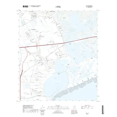
2019 Map of Cove
USGS Topo · Published 2019About this map
The low-lying coastal prairie and marshlands of the Trinity River delta dominate this landscape, where the shifting channels of the Old River and Lost River create a complex network of bayous and ponds. Residential growth is evident in the sprawling street grids of Mont Belvieu and Beach City, contrasting with the more rural character of Cove and Old River-Winfree. The area’s aviation history is represented by Slack Airport and RWJ Airpark, while its early settlement is preserved in scattered local burial grounds like Tilton Cem, Ice Cem, and the Montgomery Cem.
Find a feature on this map
120 named features on this map. Tap any name to fly to it.
Don’t see what you’re looking for? This feature index may not catch every label — zoom into the map to look around manually.
Map Details
Editions of this 2019 Cove Map
This is the sole edition of this map. No revisions or reprints were ever made.
Other maps of this area

1916 · Morgan Point
USGS Topo · 1:24,000

1916 · Cedar Bayou
USGS Topo · 1:24,000

1919 · Morgan Point
USGS Topo · 1:31,680

1919 · Cedar Bayou
USGS Topo · 1:31,680

1942 · Anahuac
USGS Topo · 1:24,000

1943 · West of Eagle
USGS Topo · 1:31,680
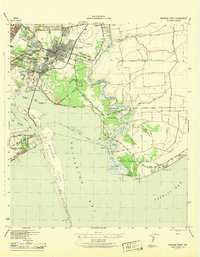
1943 · Morgan Point
USGS Topo · 1:31,680

1943 · Cedar Bayou
USGS Topo · 1:24,000

1950 · Houston
USGS Topo · 1:250,000
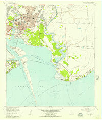
1956 · Morgan Point
USGS Topo · 1:24,000