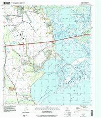
1995 Map of Cove
USGS Topo · Published 2000About this map
Trinity River marshlands and delta topography define this corner of Chambers County, where the transition from industrial development to coastal wetlands is marked by intricate bayous and oil fields. Near the Barbers Hill highlands, the Barbers Hill Schools and several neighborhood cemeteries, including Union Cem and Montgomery Cem, anchor the local community history. The landscape is heavily influenced by energy extraction, with the Lost Lake Oil Field and various Oil Wells scattered across the lowlands near Cotton Lake.
Find a feature on this map
70 named features on this map. Tap any name to fly to it.
Don’t see what you’re looking for? This feature index may not catch every label — zoom into the map to look around manually.
Map Details
Editions of this 1995 Cove Map
This is the sole edition of this map. No revisions or reprints were ever made.
Other maps of this area

1916 · Morgan Point
USGS Topo · 1:24,000

1916 · Cedar Bayou
USGS Topo · 1:24,000

1919 · Morgan Point
USGS Topo · 1:31,680

1919 · Cedar Bayou
USGS Topo · 1:31,680

1942 · Anahuac
USGS Topo · 1:24,000

1943 · West of Eagle
USGS Topo · 1:31,680
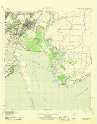
1943 · Morgan Point
USGS Topo · 1:31,680

1943 · Cedar Bayou
USGS Topo · 1:24,000

1950 · Houston
USGS Topo · 1:250,000
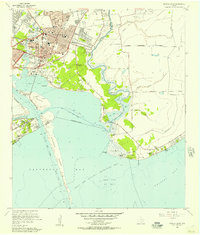
1956 · Morgan Point
USGS Topo · 1:24,000