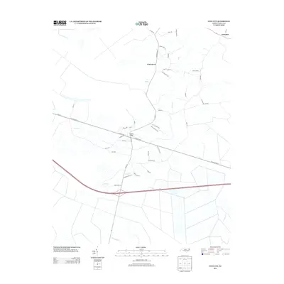
2013 Map of Cove City
USGS Topo · Published 2013About this map
Cove City serves as the primary hub of this landscape, where a grid of streets like W Sunset Blvd and S Main St centers on the local transportation corridor. The surrounding terrain is defined by a dense network of slow-moving coastal plain waterways, including Core Cr, Grape Cr, and Musselshell Cr. Small residential clusters and named crossroads like Wintergreen and Perfection suggest the area's rural development patterns in the early 21st century.
Find a feature on this map
47 named features on this map. Tap any name to fly to it.
Don’t see what you’re looking for? This feature index may not catch every label — zoom into the map to look around manually.
Map Details
Editions of this 2013 Cove City Map
This is the sole edition of this map. No revisions or reprints were ever made.
Other maps of this area

1901 · New Bern
USGS Topo · 1:62,500

1902 · Ayden
USGS Topo · 1:62,500

1902 · Vanceboro
USGS Topo · 1:62,500

1903 · New Bern
USGS Topo · 1:62,500

1903 · Trent River
USGS Topo · 1:62,500

1904 · Ayden
USGS Topo · 1:62,500

1904 · Trent River
USGS Topo · 1:62,500

1904 · Vanceboro
USGS Topo · 1:62,500

1905 · Vanceboro
USGS Topo · 1:62,500

1950 · Pollocksville
USGS Topo · 1:24,000