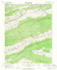
1968 Map of Cove Creek
USGS Topo · Published 1971About this map
Bluefield occupies the northern edge of this late-1960s survey, where the Norfolk and Western Railway follows the course of the Bluestone River. The landscape is defined by the heavy ridgelines of East River Mountain and Buckhorn Mountain, creating a series of isolated valleys where small settlements and community institutions like Ebenezer Ch and St Clair Ch are situated. Much of the southern terrain falls within the Jefferson National Forest, characterized by steep slopes and narrow drainages such as Cove Creek and Wolf Creek.
Find a feature on this map
47 named features on this map. Tap any name to fly to it.
Don’t see what you’re looking for? This feature index may not catch every label — zoom into the map to look around manually.
Map Details
Editions of this 1968 Cove Creek Map
2 editions found
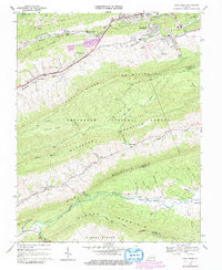
Other maps of this area

1887 · Pocahontas
USGS Topo · 1:125,000

1891 · Pocahontas
USGS Topo · 1:125,000

1894 · Pocahontas
USGS Topo · 1:125,000

1895 · Pocahontas
USGS Topo · 1:125,000

1909 · Pocahontas Special
USGS Topo · 1:48,000

1911 · Pocahontas Special
USGS Topo · 1:62,500

1913 · Bluefield
USGS Topo · 1:48,000

1916 · Bluefield
USGS Topo · 1:62,500

1924 · Bramwell
USGS Topo · 1:62,500

1924 · Bluefield
USGS Topo · 1:62,500