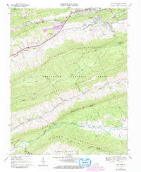
1968 Map of Cove Creek
USGS Topo · Published 1979About this map
East River Mountain and Buckhorn Mountain dominate this corner of the Appalachian landscape, creating deep, parallel valleys where human activity is concentrated. In the north, the Bluestone River corridor supports the expanding suburbs of Bluefield and the settlement of St Clair, marked by the Norfolk and Western railway and residential landmarks like Maple Hill Cemetery. This area contrasts sharply with the secluded basin of Burkes Garden in the southwest, a distinctive geological formation known for its fertile soil and isolated community life.
Find a feature on this map
70 named features on this map. Tap any name to fly to it.
Don’t see what you’re looking for? This feature index may not catch every label — zoom into the map to look around manually.
Map Details
Editions of this 1968 Cove Creek Map
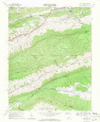
2 editions found
Other maps of this area

1887 · Pocahontas
USGS Topo · 1:125,000

1891 · Pocahontas
USGS Topo · 1:125,000

1894 · Pocahontas
USGS Topo · 1:125,000

1895 · Pocahontas
USGS Topo · 1:125,000

1909 · Pocahontas Special
USGS Topo · 1:48,000

1911 · Pocahontas Special
USGS Topo · 1:62,500

1913 · Bluefield
USGS Topo · 1:48,000

1916 · Bluefield
USGS Topo · 1:62,500

1924 · Bramwell
USGS Topo · 1:62,500

1924 · Bluefield
USGS Topo · 1:62,500