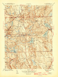
1943 Map of Coventry
USGS Topo · Published 1943About this map
Flat River Reservoir and Quidnick Reservoir dominate the central landscape of Kent County in this early 1940s survey. The interior of Coventry and West Greenwich shows a community structured by mid-century infrastructure and rural education, featuring the Airway Beacon on Biscuit Hill and several local institutions such as Summit Sch and Maple Valley Sch. The New York New Haven and Hartford railroad cuts a direct east-west path through the terrain, connecting small settlements like Greene to the larger coastal network.
Find a feature on this map
77 named features on this map. Tap any name to fly to it.
Don’t see what you’re looking for? This feature index may not catch every label — zoom into the map to look around manually.
Map Details
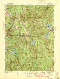
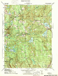
Editions of this 1943 Coventry Map
3 editions found
Other maps of this area

1889 · Putnam
USGS Topo · 1:62,500

1889 · Burrillville
USGS Topo · 1:62,500

1889 · Moosup
USGS Topo · 1:62,500

1890 · Kent
USGS Topo · 1:62,500

1893 · Putnam
USGS Topo · 1:62,500

1893 · Moosup
USGS Topo · 1:62,500

1894 · Burrillville
USGS Topo · 1:62,500

1894 · Kent
USGS Topo · 1:62,500

1915 · Burrillville
USGS Topo · 1:62,500

1919 · Putnam
USGS Topo · 1:62,500