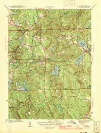
1943 Map of Coventry
USGS Topo · Published 1943About this map
Wickaboxet State Forest dominates the southwestern corner of this inland Rhode Island landscape, surveyed just as the war efforts of the 1940s were intensifying. The terrain is a network of small upland settlements and family-named landmarks connected by historic routes like the Plainfield Pike and Victory Highway. The industrial and social life of the era is anchored by numerous rural schoolhouses and churches, including the Bowen Hill Sch and Sharp Street Ch.
Find a feature on this map
66 named features on this map. Tap any name to fly to it.
Don’t see what you’re looking for? This feature index may not catch every label — zoom into the map to look around manually.
Map Details
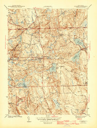
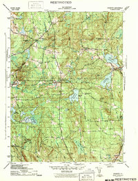
Editions of this 1943 Coventry Map
3 editions found
Other maps of this area

1889 · Putnam
USGS Topo · 1:62,500

1889 · Burrillville
USGS Topo · 1:62,500

1889 · Moosup
USGS Topo · 1:62,500

1890 · Kent
USGS Topo · 1:62,500

1893 · Putnam
USGS Topo · 1:62,500

1893 · Moosup
USGS Topo · 1:62,500

1894 · Burrillville
USGS Topo · 1:62,500

1894 · Kent
USGS Topo · 1:62,500

1915 · Burrillville
USGS Topo · 1:62,500

1919 · Putnam
USGS Topo · 1:62,500