
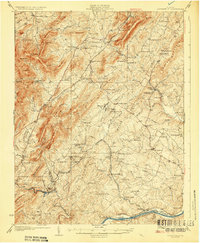
1929 Map of Covesville
USGS Topo · Published 1929About this map
The industrial operations of the Albermarle Soapstone Company anchor the southern reaches of this landscape near Schuyler and Alberene. Surveyed in the late 1920s, the map reveals a rugged terrain defined by the Ragged Mountains and the long spine of Green Mountain, where the economy relied on a mix of stone quarrying and rail transport. The Southern Railway winds through the hills, connecting settlements like North Garden and Red Hill, while the Hardware River and Rock Castle Creek drain the Piedmont slopes toward the James River at Warren and Hatton. Regional life is mapped through numerous rural institutions, including the Bethany Ch, Rising Sun Ch, and several segregated schoolhouses such as Sand Road Sch and Midway Sch. The transition from mountain ridges like Fan Mountain to the river lowlands at Scottsville captures the distinct geographic character of Albemarle County.
Find a feature on this map
112 named features on this map. Tap any name to fly to it.
Don’t see what you’re looking for? This feature index may not catch every label — zoom into the map to look around manually.
Map Details
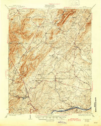
Editions of this 1929 Covesville Map
Other maps of this area

1891 · Palmyra
USGS Topo · 1:125,000

1892 · Buckingham
USGS Topo · 1:125,000

1892 · Gordonsville
USGS Topo · 1:125,000

1892 · Harrisonburg
USGS Topo · 1:125,000

1895 · Palmyra
USGS Topo · 1:125,000

1897 · Palmyra
USGS Topo · 1:125,000

1931 · University
USGS Topo · 1:62,500

1934 · Waynesboro
USGS Topo · 1:48,000

1935 · Charlottesville
USGS Topo · 1:62,500

1935 · Charlottesville And Vicinity
USGS Topo · 1:31,680