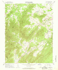
1967 Map of Covesville
USGS Topo · Published 1968About this map
Batesville and Covesville anchor this mid-1960s study of the Piedmont landscape where the Boaz Mountains and Fan Mountains meet. The Southern railway serves as a central artery, connecting the settlements of North Garden and South Garden as it winds through the gaps. This map captures a rural Albemarle County still defined by its traditional community centers, evidenced by numerous country churches such as Mt Ed Ch and Bethel Ch, and local landmarks like the Red Hill Sch.
Find a feature on this map
54 named features on this map. Tap any name to fly to it.
Don’t see what you’re looking for? This feature index may not catch every label — zoom into the map to look around manually.
Map Details
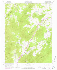
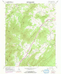
Editions of this 1967 Covesville Map
3 editions found
Other maps of this area

1892 · Buckingham
USGS Topo · 1:125,000

1892 · Harrisonburg
USGS Topo · 1:125,000

1929 · Covesville
USGS Topo · 1:62,500

1931 · University
USGS Topo · 1:62,500

1934 · Waynesboro
USGS Topo · 1:48,000

1935 · Covesville
USGS Topo · 1:62,500

1935 · University
USGS Topo · 1:62,500

1939 · Waynesboro
USGS Topo · 1:62,500

1943 · Lovingston
USGS Topo · 1:62,500

1945 · Covesville
USGS Topo · 1:62,500