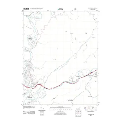
2011 Map of Covington
USGS Topo · Published 2011About this map
The Jackson River carves through this Alleghany County landscape, anchoring a series of communities from the industrial center of Covington to the outlying settlements of Low Moor and Mallow. This 2011 survey illustrates the modern residential footprint of neighborhoods like Rayon Terrace, Edgemont, and Clearwater Park, set against the backdrop of the surrounding ridges. To the north, the river winds toward Harrington, while Falling Spring Creek drops through the terrain at Falling Spring Falls.
Find a feature on this map
60 named features on this map. Tap any name to fly to it.
Don’t see what you’re looking for? This feature index may not catch every label — zoom into the map to look around manually.
Map Details
Editions of this 2011 Covington Map
This is the sole edition of this map. No revisions or reprints were ever made.
Other maps of this area

1887 · Lewisburg
USGS Topo · 1:125,000

1891 · Lewisburg
USGS Topo · 1:125,000

1894 · Natural Bridge
USGS Topo · 1:125,000

1913 · Eagle Rock
USGS Topo · 1:48,000

1915 · Eagle Rock
USGS Topo · 1:62,500

1921 · Callaghan
USGS Topo · 1:48,000

1923 · Callaghan
USGS Topo · 1:62,500

1929 · Falling Spring
USGS Topo · 1:24,000

1931 · Healing Springs
USGS Topo · 1:24,000

1932 · Falling Spring
USGS Topo · 1:31,680