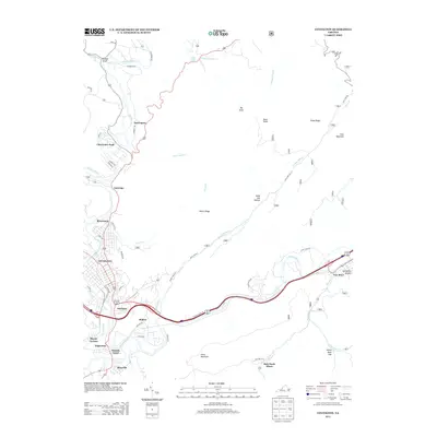
2013 Map of Covington
USGS Topo · Published 2013About this map
The Jackson River meanders through the heart of the Alleghany Highlands, anchoring a landscape of industrial heritage and residential growth. This 2013 survey of Covington and its surrounding communities showcases the intense concentration of settlements along the river valley, from the established neighborhoods of Rivermont and Edgemont to the smaller pockets at Harrington and Intervale. The topography is dominated by significant ridgelines such as Peters Ridge and Fore Mountain, which channel local development and infrastructure into the narrow lowland corridors.
Find a feature on this map
58 named features on this map. Tap any name to fly to it.
Don’t see what you’re looking for? This feature index may not catch every label — zoom into the map to look around manually.
Map Details
Editions of this 2013 Covington Map
This is the sole edition of this map. No revisions or reprints were ever made.
Other maps of this area

1887 · Lewisburg
USGS Topo · 1:125,000

1891 · Lewisburg
USGS Topo · 1:125,000

1894 · Natural Bridge
USGS Topo · 1:125,000

1913 · Eagle Rock
USGS Topo · 1:48,000

1915 · Eagle Rock
USGS Topo · 1:62,500

1921 · Callaghan
USGS Topo · 1:48,000

1923 · Callaghan
USGS Topo · 1:62,500

1929 · Falling Spring
USGS Topo · 1:24,000

1931 · Healing Springs
USGS Topo · 1:24,000

1932 · Falling Spring
USGS Topo · 1:31,680