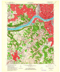
1961 Map of Covington
USGS Topo · Published 1963About this map
The Ohio River divides the urban centers of Cincinnati and Covington in this early 1960s topographic survey, which documents the dense cultural landscape of the river valley. The map reveals a high concentration of religious and educational institutions, particularly on the Ohio side in Price Hill, where St Lawrence Sch, Seton High Sch, and the Cincinnati Bible Seminary are established. Extensive cemetery grounds like St Josephs Cemetery and Mother of God Cemetery highlight the region's long-settled character.
Find a feature on this map
107 named features on this map. Tap any name to fly to it.
Don’t see what you’re looking for? This feature index may not catch every label — zoom into the map to look around manually.
Map Details
Editions of this 1961 Covington Map
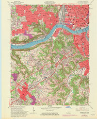
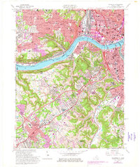
Other maps of this area

1898 · East Cincinnati
USGS Topo · 1:62,500

1914 · East Cincinnati
USGS Topo · 1:62,500

1914 · West Cincinnati
USGS Topo · 1:62,500

1929 · Alexandria
USGS Topo · 1:48,000

1936 · Alexandria
USGS Topo · 1:62,500

1950 · Union
USGS Topo · 1:24,000

1950 · Independence
USGS Topo · 1:24,000

1950 · Covington
USGS Topo · 1:24,000

1951 · Burlington
USGS Topo · 1:24,000

1952 · Newport
USGS Topo · 1:24,000