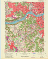
1961 Map of Covington
USGS Topo · Published 1970About this map
The Ohio River valley and its surrounding hillsides define this landscape at the intersection of Northern Kentucky and Southern Ohio during a period of significant suburban expansion. Urban density in Cincinnati and Covington gives way to growing hilltop communities such as Price Hill, Lookout Heights, and Lakeside Park. The map documents the intricate transportation networks of the era, including the Baltimore and Ohio and Southern railroads alongside the emerging interstate highway system.
Find a feature on this map
103 named features on this map. Tap any name to fly to it.
Don’t see what you’re looking for? This feature index may not catch every label — zoom into the map to look around manually.
Map Details
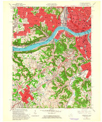
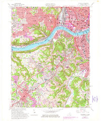
Editions of this 1961 Covington Map
Other maps of this area

1898 · East Cincinnati
USGS Topo · 1:62,500

1914 · East Cincinnati
USGS Topo · 1:62,500

1914 · West Cincinnati
USGS Topo · 1:62,500

1929 · Alexandria
USGS Topo · 1:48,000

1936 · Alexandria
USGS Topo · 1:62,500

1950 · Union
USGS Topo · 1:24,000

1950 · Independence
USGS Topo · 1:24,000

1950 · Covington
USGS Topo · 1:24,000

1951 · Burlington
USGS Topo · 1:24,000

1952 · Newport
USGS Topo · 1:24,000