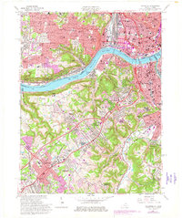
1961 Map of Covington
USGS Topo · Published 1978About this map
The Ohio River acts as the central artery for this mid-century view of the Kentucky-Ohio border, where the industrial landscape of Cincinnati meets the expanding suburban reaches of Kenton County. On the northern bank, the grid of Price Hill and Sedamsville is defined by institutional landmarks like the Cincinnati Bible Seminary and Dunham Hospital. South across the water, the terrain shifts into the rising bluffs of Devou Park and the developing residential clusters of Fort Mitchell and Lakeside Park.
Find a feature on this map
102 named features on this map. Tap any name to fly to it.
Don’t see what you’re looking for? This feature index may not catch every label — zoom into the map to look around manually.
Map Details
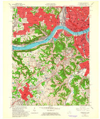
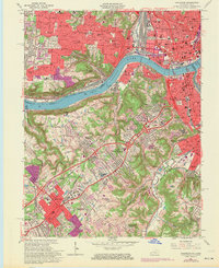
Editions of this 1961 Covington Map
Other maps of this area

1898 · East Cincinnati
USGS Topo · 1:62,500

1914 · East Cincinnati
USGS Topo · 1:62,500

1914 · West Cincinnati
USGS Topo · 1:62,500

1929 · Alexandria
USGS Topo · 1:48,000

1936 · Alexandria
USGS Topo · 1:62,500

1950 · Union
USGS Topo · 1:24,000

1950 · Independence
USGS Topo · 1:24,000

1950 · Covington
USGS Topo · 1:24,000

1951 · Burlington
USGS Topo · 1:24,000

1952 · Newport
USGS Topo · 1:24,000