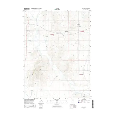
2015 Map of Cow Creek
USGS Topo · Published 2015About this map
The North Platte River winds through this Carbon County landscape, a corridor defined by extensive irrigation engineering and high-desert terrain. A complex network of water rights and ranching history is evidenced by the numerous named waterways, including the Davis Folsom and Brewer Ditch, Wiant Ditch, and Donzelman and Tilton Ditch. These systems support land use around landmarks like the Rainbow Canyon Ranch. Beyond the river valley, the topography rises into striking features such as Baggot Rocks and the prominent Needle Peak. The map provides a detailed record of the draws and gulches that channel seasonal runoff, from Sixteen Gulch to the deep Rainbow Canyon. Access is maintained through rural routes like Sierra Madre Dr and Cow Creek Rd, which connect these remote ranching and grazing lands.
Find a feature on this map
42 named features on this map. Tap any name to fly to it.
Don’t see what you’re looking for? This feature index may not catch every label — zoom into the map to look around manually.
Map Details
Editions of this 2015 Cow Creek Map
This is the sole edition of this map. No revisions or reprints were ever made.
Other maps of this area

1939 · Saratoga
USGS Topo · 1:125,000

1954 · Rawlins
USGS Topo · 1:250,000

1958 · Rawlins
USGS Topo · 1:250,000

1961 · Ryan Park
USGS Topo · 1:24,000
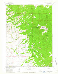
1961 · Kennaday Peak
USGS Topo · 1:24,000
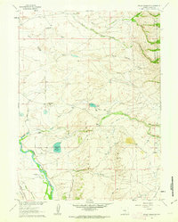
1961 · Finley Reservoir
USGS Topo · 1:24,000

1961 · Gunst Reservoir
USGS Topo · 1:24,000
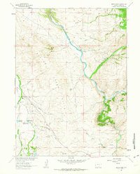
1961 · Barcus Peak
USGS Topo · 1:24,000

1961 · Encampment
USGS Topo · 1:24,000
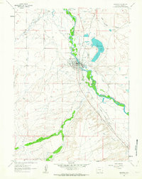
1961 · Saratoga
USGS Topo · 1:24,000