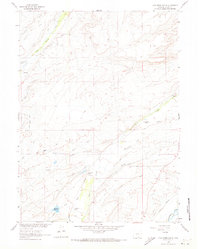
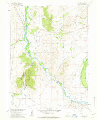
1961 Map of Cow Creek Ranch
USGS Topo · Published 1973About this map
Ranching operations and intricate water engineering define this Carbon County landscape as it appeared in the early 1960s. The territory is marked by an extensive network of irrigation infrastructure, including the Cherokee Ditch, Grand Union Pacific Ditch, and Highland Ditch, which redirect local waterways to support high-altitude agriculture. Named family holdings like Cow Creek Ranch, Hill Ranch, and the Silver Spur Ranch are distributed across the drainage basins of Cow Creek and the Encampment River.
Find a feature on this map
38 named features on this map. Tap any name to fly to it.
Don’t see what you’re looking for? This feature index may not catch every label — zoom into the map to look around manually.
Map Details
Editions of this 1961 Cow Creek Ranch Map
2 editions found
Other maps of this area

1939 · Saratoga
USGS Topo · 1:125,000

1954 · Rawlins
USGS Topo · 1:250,000

1958 · Rawlins
USGS Topo · 1:250,000

1961 · Red Mountain
USGS Topo · 1:24,000
1961 · Finley Reservoir
USGS Topo · 1:24,000

1961 · Gunst Reservoir
USGS Topo · 1:24,000

1961 · Encampment
USGS Topo · 1:24,000
1961 · Saratoga
USGS Topo · 1:24,000
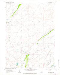
1961 · Cow Creek Ranch
USGS Topo · 1:24,000
1961 · Cow Creek
USGS Topo · 1:24,000