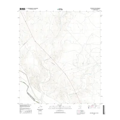
2016 Map of Cow Creek Tank
USGS Topo · Published 2016About this map
The Rio Grande forms the defining international boundary in this southern reach of Kinney Co, marking the transition between the United States of America and the Estados Unidos Mexicanos. The landscape is characterized by its drainage network, with seasonal watercourses like Derramadero Cr, Goat Cr, and Isleta Cr cutting through the terrain toward the river. This area's ranching heritage is evidenced by the namesake Cow Creek Tank and Arrow Tank, which serve as vital water sources for local livestock operations in an otherwise arid environment.
Find a feature on this map
16 named features on this map. Tap any name to fly to it.
Don’t see what you’re looking for? This feature index may not catch every label — zoom into the map to look around manually.
Map Details
Editions of this 2016 Cow Creek Tank Map
This is the sole edition of this map. No revisions or reprints were ever made.
Other maps of this area

1941 · Standart
USGS Topo · 1:62,500

1941 · Tequesquite Creek
USGS Topo · 1:62,500

1943 · Standart
USGS Topo · 1:62,500

1943 · Del Rio
USGS Topo · 1:62,500

1944 · Sycamore Ranch
USGS Topo · 1:62,500

1944 · Tequesquite Creek
USGS Topo · 1:62,500

1958 · Del Rio
USGS Topo · 1:250,000

1964 · Del Rio
USGS Topo · 1:250,000

1972 · Del Rio SE
USGS Topo · 1:24,000
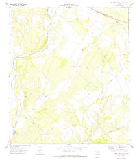
1978 · Mud Creek South
USGS Topo · 1:24,000