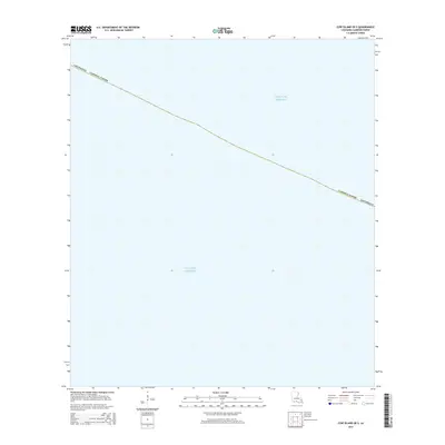
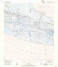
2015 Map of Cow Island OE S
USGS Topo · Published 2015About this map
The Gulf of Mexico dominates this coastal survey, where the waters of the Gulf meet the low-lying marshlands of southwest Louisiana. Grounded in a 2015 data snapshot, the map illustrates the maritime boundary of Louisiana Cameron Parish, tracing a coastline defined by fluid coastal processes rather than permanent landmarks. This specific quadrangle captures a transition zone where the land essentially gives way to the open sea, providing a precise spatial record of the shoreline's position as it existed in the mid-2010s. For researchers of coastal change or local history, the map serves as a clean baseline for observing the intersection of parish administrative lines with the shifting southern edge of the state.
Find a feature on this map
3 named features on this map. Tap any name to fly to it.
Don’t see what you’re looking for? This feature index may not catch every label — zoom into the map to look around manually.
Map Details
Editions of this 2015 Cow Island OE S Map
This is the sole edition of this map. No revisions or reprints were ever made.
Other maps of this area

1932 · Constance Bayou SW
USGS Topo · 1:31,680

1932 · Constance Bayou NW
USGS Topo · 1:31,680

1946 · Hog Bayou NE
USGS Topo · 1:31,680

1946 · Hog Bayou NW
USGS Topo · 1:31,680
1949 · Hog Bayou NW
USGS Topo · 1:31,680

1949 · Hog Bayou NE
USGS Topo · 1:31,680
1954 · Constance Bayou NW
USGS Topo · 1:31,680
1954 · Constance Bayou SW
USGS Topo · 1:31,680

1954 · Port Arthur
USGS Topo · 1:250,000
1955 · Constance Bayou
USGS Topo · 1:62,500