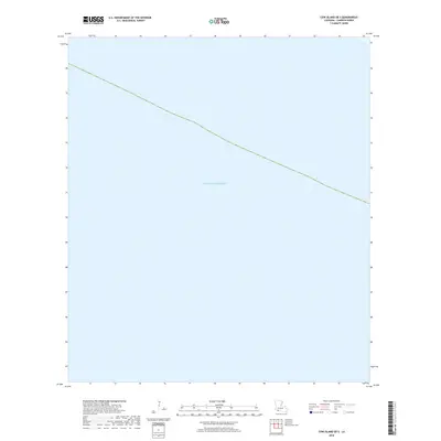
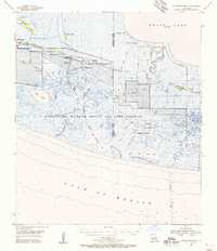
2018 Map of Cow Island OE S
USGS Topo · Published 2018About this map
Gulf of Mexico waters dominate this coastal survey of Cameron Parish, capturing the maritime interface along the Louisiana shoreline in the late 2010s. The map illustrates a section of open water where the state's marshy fringes meet the sea, though no terrestrial landmarks or settlements appear within this specific quadrant. The dashed line cutting across the upper third of the sheet marks the approximate boundary of the state's coastal waters, providing a clear reference for the maritime limits of Louisiana during this period. For researchers or collectors interested in the bathymetry and official coastal designations of the region, this document stands as a precise record of the maritime landscape before further decades of coastal change.
Find a feature on this map
1 named feature on this map. Tap any name to fly to it.
Don’t see what you’re looking for? This feature index may not catch every label — zoom into the map to look around manually.
Map Details
Editions of this 2018 Cow Island OE S Map
This is the sole edition of this map. No revisions or reprints were ever made.
Other maps of this area

1932 · Constance Bayou SW
USGS Topo · 1:31,680

1932 · Constance Bayou NW
USGS Topo · 1:31,680

1946 · Hog Bayou NE
USGS Topo · 1:31,680

1946 · Hog Bayou NW
USGS Topo · 1:31,680
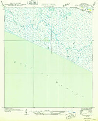
1949 · Hog Bayou NW
USGS Topo · 1:31,680

1949 · Hog Bayou NE
USGS Topo · 1:31,680
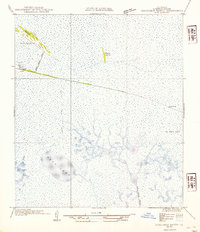
1954 · Constance Bayou NW
USGS Topo · 1:31,680
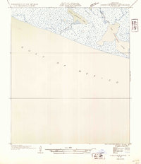
1954 · Constance Bayou SW
USGS Topo · 1:31,680

1954 · Port Arthur
USGS Topo · 1:250,000
1955 · Constance Bayou
USGS Topo · 1:62,500