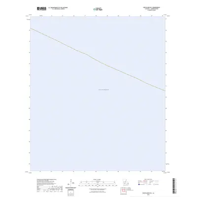
2024 Map of Cow Island OE S
USGS Topo · Published 2024About this map
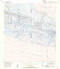
The Gulf of Mexico dominates this coastal maritime survey, providing a focused view of the offshore waters south of Cameron Parish. As a modern study, it serves primarily as a hydrographic and navigational reference rather than a terrestrial map, as no landmasses or shoreline features are present within these specific coordinates. The primary focus is the open expanse of the gulf, illustrating the maritime environment as it exists today. Without settlements, roads, or landmarks, this map is a pure representation of the marine space, which may be useful for researchers tracking modern coastal boundaries or maritime territory.
Find a feature on this map
1 named feature on this map. Tap any name to fly to it.
Don’t see what you’re looking for? This feature index may not catch every label — zoom into the map to look around manually.
Map Details
Editions of this 2024 Cow Island OE S Map
This is the sole edition of this map. No revisions or reprints were ever made.
Other maps of this area

1932 · Constance Bayou SW
USGS Topo · 1:31,680

1932 · Constance Bayou NW
USGS Topo · 1:31,680

1946 · Hog Bayou NE
USGS Topo · 1:31,680

1946 · Hog Bayou NW
USGS Topo · 1:31,680
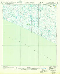
1949 · Hog Bayou NW
USGS Topo · 1:31,680

1949 · Hog Bayou NE
USGS Topo · 1:31,680
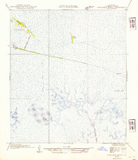
1954 · Constance Bayou NW
USGS Topo · 1:31,680
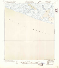
1954 · Constance Bayou SW
USGS Topo · 1:31,680

1954 · Port Arthur
USGS Topo · 1:250,000
1955 · Constance Bayou
USGS Topo · 1:62,500