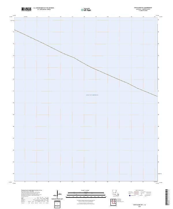
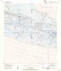
2025 Map of Cow Island OE S
USGS Topo · Published 2025About this map
Gulf of America dominates the entirety of this contemporary 2025 coastal survey. Located south of Cameron Parish, Louisiana, the map represents the open waters of the Gulf of Mexico, with only the maritime boundary line visible as a landmark. This specific sheet focuses on the aquatic geography and bathymetric extent of the nearshore environment, serving as a primary reference for the marine territory of the Gulf of America.
Find a feature on this map
1 named feature on this map. Tap any name to fly to it.
Don’t see what you’re looking for? This feature index may not catch every label — zoom into the map to look around manually.
Map Details
Editions of this 2025 Cow Island OE S Map
This is the sole edition of this map. No revisions or reprints were ever made.
Other maps of this area

1932 · Constance Bayou SW
USGS Topo · 1:31,680

1932 · Constance Bayou NW
USGS Topo · 1:31,680

1946 · Hog Bayou NE
USGS Topo · 1:31,680

1946 · Hog Bayou NW
USGS Topo · 1:31,680
1949 · Hog Bayou NW
USGS Topo · 1:31,680

1949 · Hog Bayou NE
USGS Topo · 1:31,680
1954 · Constance Bayou NW
USGS Topo · 1:31,680
1954 · Constance Bayou SW
USGS Topo · 1:31,680

1954 · Port Arthur
USGS Topo · 1:250,000
1955 · Constance Bayou
USGS Topo · 1:62,500