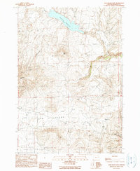
1990 Map of Cow Valley East
USGS Topo · Published 1990About this map
Malheur Reservoir dominates the northern landscape of this Malheur County region, where the high desert terrain transitions into the broad expanse of Cow Valley. The map reveals a land defined by its water sources and topography, from the drainage of Cottonwood Creek and Willow Creek to prominent elevations like Cow Valley Butte and Brogan Hill Summit. Though primarily an open landscape, human activity is evident through specific infrastructure such as a Radio Tower, a Quarry, and a Corral, indicating the area's utility for ranching and resource extraction. The network of unimproved roads and trails connects these points of interest, tracing the natural contours between Reservoir Butte and the winding course of Jeff Davis Creek. This 1990 edition, based on 1985 aerial photography, provides a detailed look at the rural character of eastern Oregon before more modern developments.
Find a feature on this map
16 named features on this map. Tap any name to fly to it.
Don’t see what you’re looking for? This feature index may not catch every label — zoom into the map to look around manually.
Map Details
Editions of this 1990 Cow Valley East Map
This is the sole edition of this map. No revisions or reprints were ever made.
Other maps of this area

1955 · Baker
USGS Topo · 1:250,000

1959 · Baker
USGS Topo · 1:250,000

1964 · Bridgeport
USGS Topo · 1:62,500

1964 · Brogan
USGS Topo · 1:62,500

1964 · Ironside
USGS Topo · 1:62,500

1966 · Clover Creek Ranch
USGS Topo · 1:62,500

1980 · Brogan
USGS Topo · 1:100,000
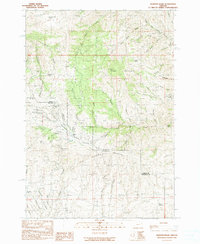
1990 · Mormon Basin
USGS Topo · 1:24,000
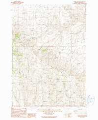
1990 · Brady Creek
USGS Topo · 1:24,000
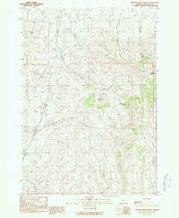
1990 · Scratch Post Butte
USGS Topo · 1:24,000