Loading...
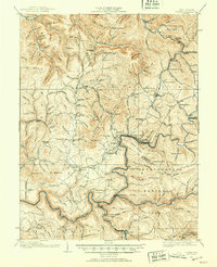
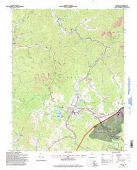
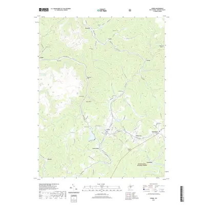
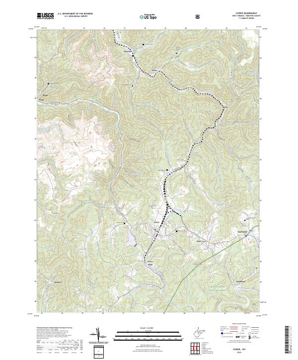
Loading map...1915 Map of Cowen
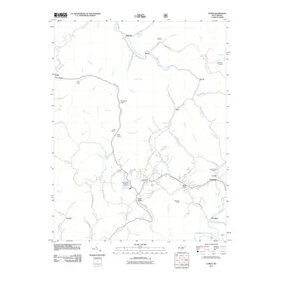
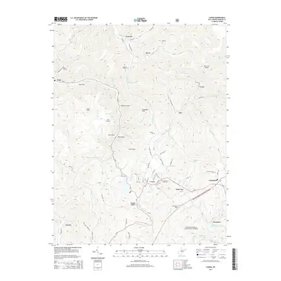
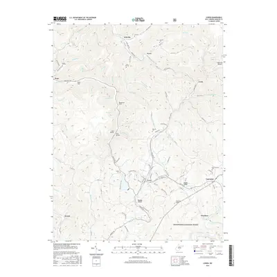
USGS Topo · Published 1953About this map
Camden on Gauley and Cowen serve as central hubs in this 1915 survey of the Webster and Nicholas County line, a landscape defined by the winding Gauley River and the industrial reach of the Baltimore and Ohio RR. The map documents a dense network of rural infrastructure, from the early operations at Gauley Mills to more than two dozen scattered educational sites like Cottle Glade School and Mt Thomas School.
Find a feature on this map
139 named features on this map. Tap any name to fly to it.
Don’t see what you’re looking for? This feature index may not catch every label — zoom into the map to look around manually.
Map Details
Date Portrayed1915
Date Published1953
PublisherU.S. Geological Survey
Map TypeTopographic
Scale1:62,500
Physical Dimensions16.8 x 20.7 inches
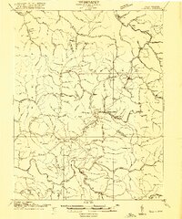
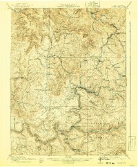
Editions of this 1915 Cowen Map
3 editions found
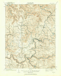
Historical Maps of Craigsville Through Time
9 maps found

Featured Locations
Source Details
SourceU.S. Geological Survey
CopyrightPublic Domain