
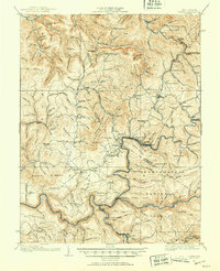
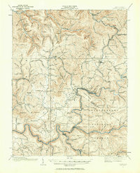
1915 Map of Cowen
USGS Topo · Published 1915About this map
Camden on Gauley and the industrial activity of Gauley Mills anchor the riverfront of this 1915 survey. The map details a landscape transition where the logging and resource economy of the Birch River and Gauley River valleys intersects with an extensive network of local schools and post offices. Along the Baltimore and Ohio rail lines, settlements like Tioga and Craigsville appear established, supported by infrastructure like the Coal Siding near Curtin.
Find a feature on this map
147 named features on this map. Tap any name to fly to it.
Don’t see what you’re looking for? This feature index may not catch every label — zoom into the map to look around manually.
Map Details
Editions of this 1915 Cowen Map
3 editions found
Other maps of this area

1889 · Nicholas
USGS Topo · 1:125,000

1891 · Nicholas
USGS Topo · 1:125,000

1891 · Huntersville
USGS Topo · 1:125,000

1893 · Buckhannon
USGS Topo · 1:125,000

1893 · Sutton
USGS Topo · 1:125,000

1894 · Huntersville
USGS Topo · 1:125,000

1896 · Buckhannon
USGS Topo · 1:125,000

1897 · Buckhannon
USGS Topo · 1:125,000

1901 · Nicholas
USGS Topo · 1:125,000

1908 · Gassaway
USGS Topo · 1:48,000