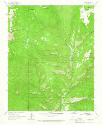
1961 Map of Cowles
USGS Topo · Published 1966About this map
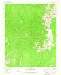
Santa Fe National Forest dominates this mountain landscape in the early 1960s, centered on the settlement of Cowles where Panchuela Creek joins the Pecos River. The map reveals a complex network of high-altitude water bodies, including Stewart Lake, Lake Johnson, and Spirit Lake, connected by numerous drainages such as Holy Ghost Creek and Winsor Creek. Evidence of past industry and land management is visible near the riverbanks, where Mine Dumps sit south of Cowles and the Panchuela Ranger Station serves as a remote outpost for the forest service. The terrain is marked by distinctive landmarks like Horsethief Meadow and Grass Mountain, while the presence of the Winsor Trail and various pack trails indicates the importance of non-motorized access through these peaks and valleys before the expansion of modern road systems.
Find a feature on this map
30 named features on this map. Tap any name to fly to it.
Don’t see what you’re looking for? This feature index may not catch every label — zoom into the map to look around manually.
Map Details
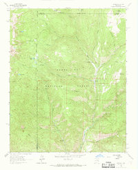
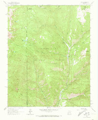
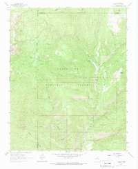
Editions of this 1961 Cowles Map
4 editions found
Other maps of this area

1889 · Santa Fe
USGS Topo · 1:125,000

1894 · Santa Fe
USGS Topo · 1:125,000

1953 · Sierra Mosca
USGS Topo · 1:24,000

1953 · Mc Clure Reservoir
USGS Topo · 1:24,000

1953 · Aspen Basin
USGS Topo · 1:24,000

1954 · Santa Fe
USGS Topo · 1:250,000

1958 · Santa Fe
USGS Topo · 1:250,000

1961 · Honey Boy Ranch
USGS Topo · 1:24,000

1961 · Rosilla Peak
USGS Topo · 1:24,000
1963 · Truchas Peak
USGS Topo · 1:24,000