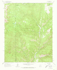
1961 Map of Cowles
USGS Topo · Published 1973About this map
Cowles sits at the confluence of several mountain waterways in the early 1960s, serving as a focal point for the surrounding Santa Fe National Forest. The settlement's connection to the high-country landscape is defined by the Pecos River, which is joined here by Winsor Creek, Panchuela Creek, and Jacks Creek. The presence of a Panchuela Ranger Station and a Gaging Sta indicates the area's importance for forest management and water monitoring. Higher elevations are marked by alpine features like Stewart Lake, Lake Johnson, and Spirit Lake, accessible via the Winsor Trail and numerous unnamed pack trails. A small area of Mine Dumps near Willow Creek points to the localized mineral exploration common in this part of New Mexico, while the broad Horsethief Meadow provides a distinct break in the timbered slopes.
Find a feature on this map
32 named features on this map. Tap any name to fly to it.
Don’t see what you’re looking for? This feature index may not catch every label — zoom into the map to look around manually.
Map Details
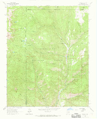
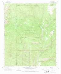
Editions of this 1961 Cowles Map
4 editions found
Other maps of this area

1889 · Santa Fe
USGS Topo · 1:125,000

1894 · Santa Fe
USGS Topo · 1:125,000

1953 · Sierra Mosca
USGS Topo · 1:24,000

1953 · Mc Clure Reservoir
USGS Topo · 1:24,000

1953 · Aspen Basin
USGS Topo · 1:24,000

1954 · Santa Fe
USGS Topo · 1:250,000

1958 · Santa Fe
USGS Topo · 1:250,000

1961 · Honey Boy Ranch
USGS Topo · 1:24,000

1961 · Rosilla Peak
USGS Topo · 1:24,000
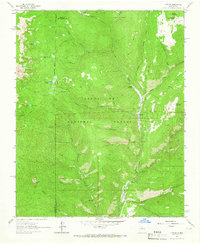
1961 · Cowles
USGS Topo · 1:24,000