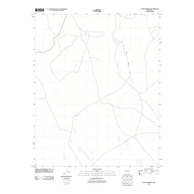
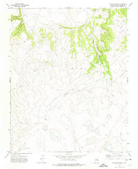
2010 Map of Canon Pedroso
USGS Topo · Published 2010About this map
Pedroso Creek and the drainage of Cañon Pedroso define the landscape of this high-plains region in San Miguel County. The terrain is characterized by winding seasonal watercourses and a sparse network of rural routes, including County Road C 53 A, which provide the primary access through this open country. This modern survey illustrates the enduring patterns of land use in northeastern New Mexico, where the natural topography of the canyons continues to dictate the path of local infrastructure and travel.
Find a feature on this map
3 named features on this map. Tap any name to fly to it.
Don’t see what you’re looking for? This feature index may not catch every label — zoom into the map to look around manually.
Map Details
Editions of this 2010 Canon Pedroso Map
This is the sole edition of this map. No revisions or reprints were ever made.
Other maps of this area

1892 · Watrous
USGS Topo · 1:125,000

1894 · Watrous
USGS Topo · 1:125,000

1954 · Santa Fe
USGS Topo · 1:250,000

1958 · Santa Fe
USGS Topo · 1:250,000

1964 · Frutosa Lake
USGS Topo · 1:24,000
1966 · Watrous
USGS Topo · 1:24,000
1966 · Cherry Valley Lake
USGS Topo · 1:24,000
1971 · Goetsch Lake
USGS Topo · 1:24,000

1971 · Laguna Huerfana
USGS Topo · 1:24,000
1971 · Canon Pedroso
USGS Topo · 1:24,000