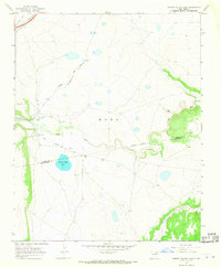
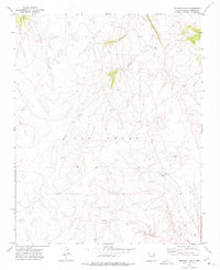
1966 Map of Cherry Valley Lake
USGS Topo · Published 1968About this map
The Santa Fe Trail and its historic Cimarron Cutoff cross the northern reaches of this landscape, marking a vital corridor of Western expansion that parallels the modern path of the Atchison Topeka and Santa Fe railroad. Near the center of the sheet, the Mora River winds through a valley defined by irrigation infrastructure, including the North Company Ditch and South Company Ditch. These waterworks supported the small settlement at Shoemaker and the nearby agricultural lands.
Find a feature on this map
16 named features on this map. Tap any name to fly to it.
Don’t see what you’re looking for? This feature index may not catch every label — zoom into the map to look around manually.
Map Details
Editions of this 1966 Cherry Valley Lake Map
This is the sole edition of this map. No revisions or reprints were ever made.
Other maps of this area

1892 · Watrous
USGS Topo · 1:125,000

1894 · Watrous
USGS Topo · 1:125,000

1954 · Santa Fe
USGS Topo · 1:250,000

1958 · Santa Fe
USGS Topo · 1:250,000

1964 · Frutosa Lake
USGS Topo · 1:24,000

1964 · Mogote Hills
USGS Topo · 1:24,000
1966 · Watrous
USGS Topo · 1:24,000
1966 · Optimo
USGS Topo · 1:24,000
1966 · Maxson Crater
USGS Topo · 1:24,000
1971 · Goetsch Lake
USGS Topo · 1:24,000