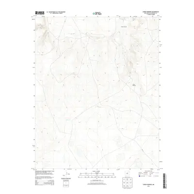
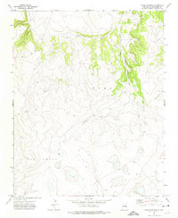
2013 Map of Canon Pedroso
USGS Topo · Published 2013About this map
Cañon Pedroso defines this portion of San Miguel County, where the topography is shaped by the intermittent flow of Pedroso Cr. The landscape is dominated by complex contour patterns and drainage systems that feed into the canyon, illustrating the natural arid-land erosion characteristic of this region of New Mexico. Human presence is sparse, marked primarily by the utility of local thoroughfares such as Route 97 and the descriptively named Feed Rd in the southeastern quadrant. This survey reflects the enduring physical character of the high plains, where land use appears focused on ranching or transit through the elevated terrain between deeper canyon systems.
Find a feature on this map
4 named features on this map. Tap any name to fly to it.
Don’t see what you’re looking for? This feature index may not catch every label — zoom into the map to look around manually.
Map Details
Editions of this 2013 Canon Pedroso Map
This is the sole edition of this map. No revisions or reprints were ever made.
Other maps of this area

1892 · Watrous
USGS Topo · 1:125,000

1894 · Watrous
USGS Topo · 1:125,000

1954 · Santa Fe
USGS Topo · 1:250,000

1958 · Santa Fe
USGS Topo · 1:250,000

1964 · Frutosa Lake
USGS Topo · 1:24,000
1966 · Watrous
USGS Topo · 1:24,000
1966 · Cherry Valley Lake
USGS Topo · 1:24,000
1971 · Goetsch Lake
USGS Topo · 1:24,000

1971 · Laguna Huerfana
USGS Topo · 1:24,000
1971 · Canon Pedroso
USGS Topo · 1:24,000