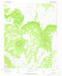
1963 Map of Mesa Lauriano
USGS Topo · Published 1975About this map
Antonio Ortiz land grant territory defines this high desert landscape, where the Gallinas River cuts through the southern reaches of San Miguel County. The terrain is characterized by massive plateau formations, including the prominent Mesa Lauriano and the sprawling Mesa de los Carros to the north. Evidence of earlier settlement is concentrated near the river, notably at the Los Torres ruins and the nearby Los Torres Cem, suggesting a once-active community supported by the Chaperito Ditch irrigation system.
Find a feature on this map
18 named features on this map. Tap any name to fly to it.
Don’t see what you’re looking for? This feature index may not catch every label — zoom into the map to look around manually.
Map Details
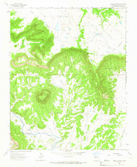
Editions of this 1963 Mesa Lauriano Map
2 editions found
Other maps of this area

1889 · Las Vegas
USGS Topo · 1:125,000

1890 · Bernal
USGS Topo · 1:125,000

1891 · Bernal
USGS Topo · 1:125,000

1891 · Las Vegas
USGS Topo · 1:125,000

1892 · Watrous
USGS Topo · 1:125,000

1892 · Corazon
USGS Topo · 1:125,000

1893 · Las Vegas
USGS Topo · 1:125,000

1894 · Corazon
USGS Topo · 1:125,000

1894 · Watrous
USGS Topo · 1:125,000

1894 · Bernal
USGS Topo · 1:125,000