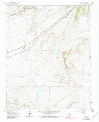
1963 Map of Onava
USGS Topo · Published 1984About this map
The Mora River and Sapello River converge in the northwestern corner of this landscape, marking a vital water source at the boundary of Mora County and San Miguel County. This high-plains terrain is defined by the legacy of Western transit, where the modern path of Route 85 and the Atchison Topeka and Santa Fe railroad parallel the historic route of the Old Santa Fe Trail.
Find a feature on this map
15 named features on this map. Tap any name to fly to it.
Don’t see what you’re looking for? This feature index may not catch every label — zoom into the map to look around manually.
Map Details
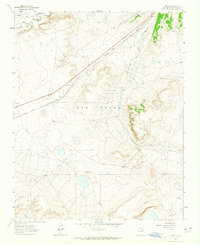
Editions of this 1963 Onava Map
2 editions found
Other maps of this area

1889 · Las Vegas
USGS Topo · 1:125,000

1891 · Las Vegas
USGS Topo · 1:125,000

1892 · Watrous
USGS Topo · 1:125,000

1893 · Las Vegas
USGS Topo · 1:125,000

1894 · Watrous
USGS Topo · 1:125,000

1954 · Santa Fe
USGS Topo · 1:250,000

1958 · Santa Fe
USGS Topo · 1:250,000

1963 · Lake Isabel
USGS Topo · 1:24,000
1963 · Las Vegas SE
USGS Topo · 1:24,000
1963 · Las Vegas
USGS Topo · 1:24,000