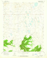
1963 Map of Las Vegas SE
USGS Topo · Published 1964About this map
Isolated ranches and the undulating plateau of Las Vegas characterize this high-country landscape in San Miguel County during the early 1960s. The settlement pattern is defined by family-held properties such as Leatherwood Ranch, Lewis Ranch, and Spurlock Ranch, often situated near intermittent water sources or along the network of unimproved roads. A small community presence is noted at Boyle, accompanied by a local Cem, reflecting the deep-rooted ranching history of the region.
Find a feature on this map
18 named features on this map. Tap any name to fly to it.
Don’t see what you’re looking for? This feature index may not catch every label — zoom into the map to look around manually.
Map Details
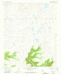
Editions of this 1963 Las Vegas SE Map
2 editions found
Other maps of this area

1889 · Las Vegas
USGS Topo · 1:125,000

1890 · Bernal
USGS Topo · 1:125,000

1891 · Bernal
USGS Topo · 1:125,000

1891 · Las Vegas
USGS Topo · 1:125,000

1892 · Watrous
USGS Topo · 1:125,000

1892 · Corazon
USGS Topo · 1:125,000

1893 · Las Vegas
USGS Topo · 1:125,000

1894 · Corazon
USGS Topo · 1:125,000

1894 · Watrous
USGS Topo · 1:125,000

1894 · Bernal
USGS Topo · 1:125,000