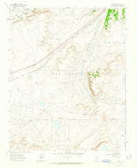
1963 Map of Onava
USGS Topo · Published 1965About this map
The Old Santa Fe Trail and the contemporary Santa Fe Trail converge in this high-plains landscape, illustrating the layered history of transportation in northern New Mexico. The Mora River and Sapello River meet near the Mora Grant Boundary, a point where early land grant divisions intersect with the natural drainage of the Las Vegas plateau.
Find a feature on this map
13 named features on this map. Tap any name to fly to it.
Don’t see what you’re looking for? This feature index may not catch every label — zoom into the map to look around manually.
Map Details
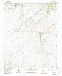
Editions of this 1963 Onava Map
2 editions found
Other maps of this area

1889 · Las Vegas
USGS Topo · 1:125,000

1891 · Las Vegas
USGS Topo · 1:125,000

1892 · Watrous
USGS Topo · 1:125,000

1893 · Las Vegas
USGS Topo · 1:125,000

1894 · Watrous
USGS Topo · 1:125,000

1954 · Santa Fe
USGS Topo · 1:250,000

1958 · Santa Fe
USGS Topo · 1:250,000

1963 · Lake Isabel
USGS Topo · 1:24,000
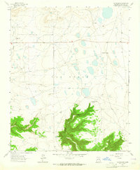
1963 · Las Vegas SE
USGS Topo · 1:24,000
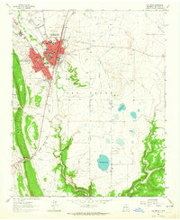
1963 · Las Vegas
USGS Topo · 1:24,000