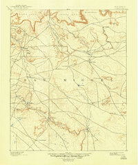
1894 Map of Corazon
USGS Topo · Published 1948About this map
Chaperito and Las Colonias anchor a landscape of high mesas and vital water sources in this late 19th-century survey of San Miguel. The geography is defined by the canyon-carving paths of the Gallinas River and the Conchas River, which provided the lifeblood for small settlements like Aguila and La Junta. The map captures a moment when travel and settlement in this portion of New Mexico were dictated by the placement of reliable springs, such as Gallinas Spring, Concha Spring, and Cabra Spring.
Find a feature on this map
37 named features on this map. Tap any name to fly to it.
Don’t see what you’re looking for? This feature index may not catch every label — zoom into the map to look around manually.
Map Details
Editions of this 1894 Corazon Map
5 editions found
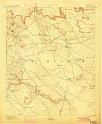
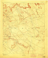
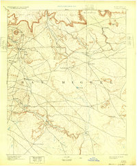
Other maps of this area

1889 · Las Vegas
USGS Topo · 1:125,000

1890 · Bernal
USGS Topo · 1:125,000

1891 · Bernal
USGS Topo · 1:125,000

1891 · Las Vegas
USGS Topo · 1:125,000

1892 · Watrous
USGS Topo · 1:125,000

1892 · Corazon
USGS Topo · 1:125,000

1893 · Las Vegas
USGS Topo · 1:125,000

1894 · Corazon
USGS Topo · 1:125,000

1894 · Watrous
USGS Topo · 1:125,000

1894 · Bernal
USGS Topo · 1:125,000