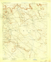
1894 Map of Corazon
USGS Topo · Published 1932About this map
Las Colonias and other early Hispanic settlements anchor the canyon floors and riverbanks of this territory within San Miguel county. Surveyed just before the turn of the century, the map reveals a landscape defined by seasonal water sources and the strategic placement of villages like Chaperito and La Cueva along the Gallinas River. The terrain is characterized by a series of massive mesas, including Carro Mesa and Mesa Montosa, which separate the river valleys and influence the erratic paths of the Salitre Arroyo and Conchas River.
Find a feature on this map
37 named features on this map. Tap any name to fly to it.
Don’t see what you’re looking for? This feature index may not catch every label — zoom into the map to look around manually.
Map Details
Editions of this 1894 Corazon Map
5 editions found
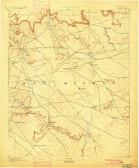
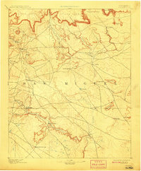
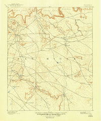
Other maps of this area

1889 · Las Vegas
USGS Topo · 1:125,000

1890 · Bernal
USGS Topo · 1:125,000

1891 · Bernal
USGS Topo · 1:125,000

1891 · Las Vegas
USGS Topo · 1:125,000

1892 · Watrous
USGS Topo · 1:125,000

1892 · Corazon
USGS Topo · 1:125,000

1893 · Las Vegas
USGS Topo · 1:125,000

1894 · Corazon
USGS Topo · 1:125,000

1894 · Watrous
USGS Topo · 1:125,000

1894 · Bernal
USGS Topo · 1:125,000