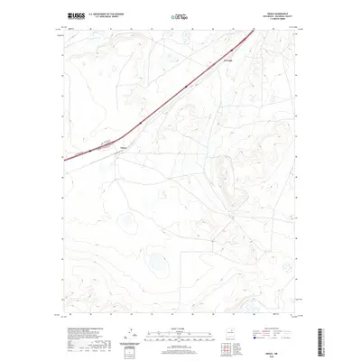
2020 Map of Onava
USGS Topo · Published 2020About this map
Onava and Kroenigs sit at the center of this high-plains landscape in San Miguel County, where modern transit corridors follow the natural contours of the terrain. The northern edge of the sheet is defined by the Sapello River, which cuts through the undulating topography typical of this region east of the mountains. The road network, including the Onava Frontage Rd, Kroenigs Frontage Rd, and W Frontage Rd, highlights the relationship between established settlements and the highway system that connects them. The mapping reveals a sparse but deliberate arrangement of property lines and access points, indicating a rural land-use pattern centered on small communities and seasonal water sources in a semi-arid environment.
Find a feature on this map
6 named features on this map. Tap any name to fly to it.
Don’t see what you’re looking for? This feature index may not catch every label — zoom into the map to look around manually.
Map Details
Editions of this 2020 Onava Map
This is the sole edition of this map. No revisions or reprints were ever made.
Other maps of this area

1889 · Las Vegas
USGS Topo · 1:125,000

1891 · Las Vegas
USGS Topo · 1:125,000

1892 · Watrous
USGS Topo · 1:125,000

1893 · Las Vegas
USGS Topo · 1:125,000

1894 · Watrous
USGS Topo · 1:125,000

1954 · Santa Fe
USGS Topo · 1:250,000

1958 · Santa Fe
USGS Topo · 1:250,000

1963 · Lake Isabel
USGS Topo · 1:24,000
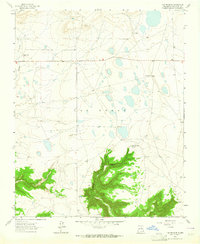
1963 · Las Vegas SE
USGS Topo · 1:24,000
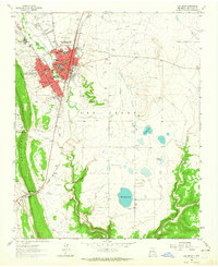
1963 · Las Vegas
USGS Topo · 1:24,000