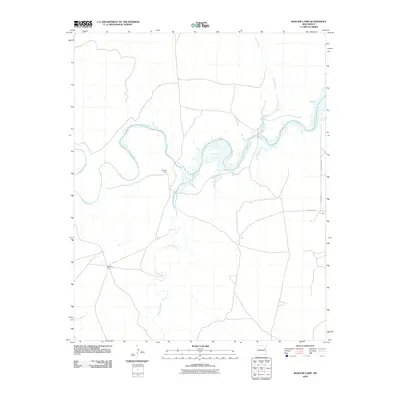
2010 Map of Bascom Camp
USGS Topo · Published 2010About this map
The Canadian River winds through this high-plains landscape, where its waters meet the western reaches of the Ute Reservoir. This 2010 survey records a transition point in San Miguel County, dominated by sprawling ranching infrastructure and isolated outposts. Notable landmarks include the Bascom Camp and the nearby Bascom Pens, which emphasize the area's continued reliance on livestock management.
Find a feature on this map
10 named features on this map. Tap any name to fly to it.
Don’t see what you’re looking for? This feature index may not catch every label — zoom into the map to look around manually.
Map Details
Editions of this 2010 Bascom Camp Map
This is the sole edition of this map. No revisions or reprints were ever made.
Other maps of this area

1930 · Tucumcari
USGS Topo · 1:125,000

1954 · Tucumcari
USGS Topo · 1:250,000

1958 · Tucumcari
USGS Topo · 1:250,000

1967 · Trinchera Creek
USGS Topo · 1:24,000

1967 · Liberty Mesa
USGS Topo · 1:24,000

1967 · Tucumcari
USGS Topo · 1:24,000

1968 · Bascom Camp
USGS Topo · 1:24,000

1968 · Hampton Ranch
USGS Topo · 1:24,000

1968 · Hudson
USGS Topo · 1:24,000

1968 · Lesbia
USGS Topo · 1:24,000