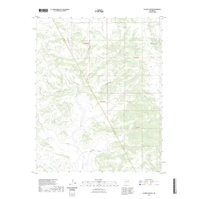
2023 Map of Alamosa Canyon
USGS Topo · Published 2023About this map
The high desert landscape of the New Mexico borderlands is defined by a dense network of erosional drainages and livestock water sources. The prominent Alamosa Canyon and its tributaries, including Salitre Canyon and Dog Canyon, carve through the terrain, while the northeast corner is marked by the high ground of Rincon Colorado. The county line between Harding and San Miguel runs diagonally across the quadrangle, intersecting a series of man-made water catchments such as Mesquite Tank, Pothole Tank, and Riprap Tank. These features indicate a landscape shaped by ranching and the management of seasonal runoff. Sparse infrastructure like Co RD J-1 and Nana'S LN provide the few points of access to this remote region, where the hydrology of Atarque Creek and Carros Creek remains the primary influence on land use and movement.
Find a feature on this map
25 named features on this map. Tap any name to fly to it.
Don’t see what you’re looking for? This feature index may not catch every label — zoom into the map to look around manually.
Map Details
Editions of this 2023 Alamosa Canyon Map
This is the sole edition of this map. No revisions or reprints were ever made.
Other maps of this area

1930 · Tucumcari
USGS Topo · 1:125,000

1954 · Tucumcari
USGS Topo · 1:250,000

1958 · Tucumcari
USGS Topo · 1:250,000

1968 · Hampton Ranch
USGS Topo · 1:24,000

1968 · Carpenter Mesa NW
USGS Topo · 1:24,000
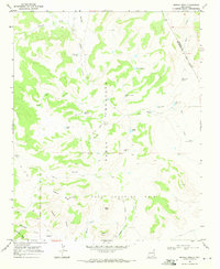
1968 · Medina Mesa
USGS Topo · 1:24,000

1969 · Gallegos
USGS Topo · 1:24,000

1969 · Salitre Canyon
USGS Topo · 1:24,000
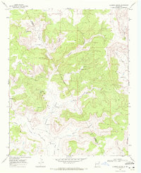
1969 · Alamosa Canyon
USGS Topo · 1:24,000
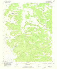
1969 · Campana
USGS Topo · 1:24,000